Cities / Towns in Azad Kashmir Pakistan
It provides an inclusive collections of beautiful pictures of Azad Kashmir and all of the famous and attractive visiting places there. Travel guide about Azad Kashmir is also available to visit various visiting places there to enjoy the best and memorable moments of your life while exploring there.
Kashmir is an independent region with its own government and administration, but under the supervision and security of Pakistan. The state of Azad Jammu and Kashmir is controlled partly by Pakistan and India, whereas India has an illegal control of the occupied Kashmir. The dispute of Kashmir was discussed a number of times in the United Nations, but India is not willing to release the illegal occupation.
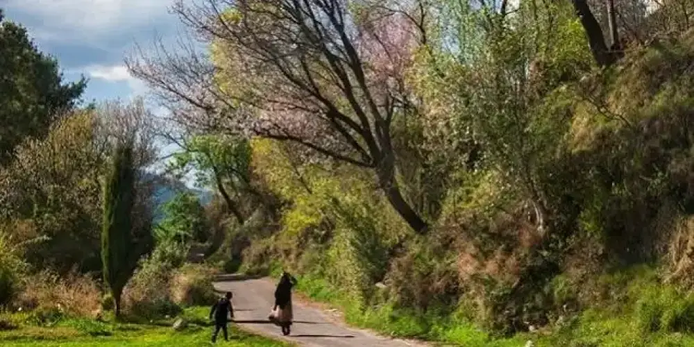
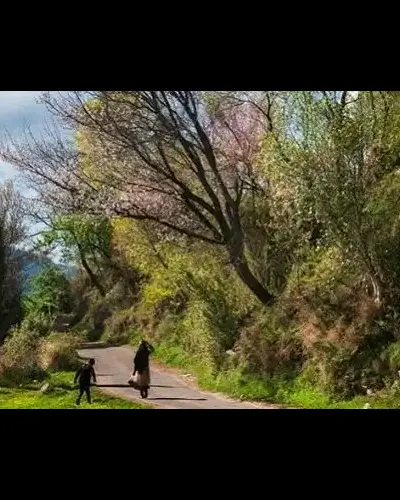
Jammu and Kashmir is also known as heaven on earth, and it has most of the beautiful places in the world. Azad Kashmir, part of the state of Jammu and Kashmir, is also the focal place for tourists.
-
Bagh
Bagh is a mountainous and lush green area of Azad Kashmir in the Himalayas and Pir Panjal Range at an average elevation of between 1,500 to 2,500 meters above sea level. It is located at the distance of 88km from Muzaffarabad via Sudhan Gali on Sudhan Gali Road along the Mahl River with number of rivulets. These mountains are covered with coniferous forests. It was part of Poonch district before 1988, when it was given a status of district.
Visiting Locations in Bagh -
Bhimber
Bhimber, also known as Baab-e-Kashmir, is situated at the distance of 50 km from Mirpur on the border between Kashmir and Punjab. It was historically on the location on the route that was followed by the Mughals to visit the Kashmir Valley. It was got the status of district in 1996.
Visiting Locations in Bhimber -
Hattian Bala
Hattian Bala was part of the Baramula district before the ceasefire between India and Pakistan. Then it was part of the Muzaffarabad district. In July 2009, it had got status of district. It is located at the distance of 40 km from Muzaffarabad on the bank of the Jhelum River. It is also part of Jhelum valley that is collection of valleys and mountain ranges around the Jhelum River in Azad Kashmir.
Visiting Locations in Hattian Bala -
Haveli
Haveli is a district in Azad Kashmir and is located on an elevation of 8,000 feet at the distance of 141 km from Muzaffarabad. It is accessible via Kohala through Bagh Highway and then following Dhulli Road. It is covered by Indian-Occupied Jammu & Kashmir from its three sides with the Baramulla district.
Visiting Locations in Haveli -
Kotli
Kotli is the most populous district of Kashmir and is situated along the Poonch River at a distance of 136 km from Rawalpindi. From Motorway N5 near Rawat Fort, move on Kallar Syedan-Dadyal Road and finally turn left to join Kotli Road in Mirpur to access Kotli.
Visiting Locations in Kotli -
Mirpur
Mirpur, the largest city of Azad Kashmir and also known for its modern bungalows and buildings, is located at a distance of 218 km from Lahore. It is also known as New Mirpur City. Mirpur is mainly an agricultural city, and is famous for millet, maize, and good quality rice of Khari Sharif. Most of its local people migrated to England, so it is also known as Little England.
Visiting Locations in Mirpur -
Muzaffarabad
Muzaffarabad, located on the confluence of Jhelum River and Neelum River, is the capital of Azad Jammu and Kashmir, Pakistan. The splendid view of the confluence of the Jhelum and Neelum rivers at Domel attracts a number of visitors to enjoy the riversides. Its name was given due to Sultan Muzaffar Khan, leader of the Bomba tribe, who ruled Kashmir in 1646.
Visiting Locations in Muzaffarabad -
Neelum Valley
Neelum Valley, a bow-shaped thickly forested region, is the last district of Azad Jammu and Kashmir in Pakistan, located at the distance of 100km from Muzzafarabad at an altitude of 5,299 feet. Its name is due to the Neelum River, flowing across the valley. Valley is divided among Pakistan and Indian held Kashmir, the LOC is normally moved along the Neelum River in this valley.
Visiting Locations in Neelum Valley -
Rawalakot
Rawalakot, known as Pearl Valley, is located in Azad Jammu and Kashmir in the Pir Panjal Range at the elevation of 5,374 feet having a distance of 120 km from Rawalpindi via Kahuta on the Rawalakot Road. It is also accessible from Abbottabad by Sudhan Gali Road, then turns right on the Bagh Highway, and finally move on Rawalakot Road at Arja.
Visiting Locations in Rawalakot -
Sudhanoti
Sudhanoti is situated at a distance of 150 km from Muzaffarabad, Azad Kashmir. It is accessible through Rawalakot Road then following Pallandri Road or Pallandri-Hajira Road via Azad Pattan Road. It is the hilliest area around the Jhelum River. It was also served as the capital of the Azad Kashmir from 1947 to 1949.
Visiting Locations in Sudhanoti
About Azad Kashmir
Azad Kashmir, also known as Azad Jammu and Kashmir, is a self governing territory, administrated by Pakistan. Jammu and Kashmir is divided among India and Pakistan on the Line of Control by UN. Both of the countries claims the entire state of Kashmir as their own but issue was still under the conflict between Pakistan and India since 1949.
The maharaja Hari Singh was the ruler of Jammu and Kashmir and willing to give control of the state to India in 1947. That decision was the against the people of Jammu and Kashmir due to the majority of them were Muslims at that time, so people of Kashmir stood against the maharaja. Then thousands of Pashtun from Khyber Pakhtunkhwa moved toward Jammu and Kashmir to liberate Jammu and Kashmir. They captured the area near the state capital Srinagar. So the Maharaja requested India for military assistance and Indian Army got the remaining part of the state and war was initiated between India and Pakistan. After that, India approached the United Nations to resolve the conflict and then UN declared a cease-fire between India and Pakistan by setting a Line of Control in 1972 to hold the captured parts of Jammu and Kashmir between India and Pakistan. Kashmir issue is one of the main agenda in Pakistani foreign affairs policy.
Azad Kashmir has its own self-governing legislative assembly under the control of Pakistan to administrate the Pakistani controlled parts of Jammu and Kashmir. Prime minister of Pakistan is mandatory member of the AJK legislative assembly.
Azad Jammu and Kashmir is situated on the lower part of the Himalayas, the Sarwali peak in the Neelum Valley is the highest peak in the region. Whole region is composed of lush green and fertile mountainous valleys, which attracts number of visitors from all around Pakistan and other countries. It is connected with Pakistani province of Punjab on the south side and the Gilgit-Baltistan region on the east part.
The climate in northern part of Kashmir is cold and chilly in winters and moderate in summers, whereas southern part is extremely hot in summers and moderate in winters, but these areas receive monsoon in summers.