Beautiful Green Fields in Pakistan
Pakistan is an agricultural country where more than 70% population is linked with the agriculture profession. Due to this, the lush green fields and meadows are the real beauty of Pakistan.
Tourists love to visit various small villages where they can have splendid views of green fields as well as enjoy the healthy and hygienic atmosphere. The natural forests in various area gives an additive charm of wild life.
Here, you may explore an inclusive collections of beautiful pictures of Green Fields in Pakistan.
Main Categories
Sub Categories: Agricultural Sites | Coastal Areas | Forests | Meadows | Plateaus | Wild Life Views

-
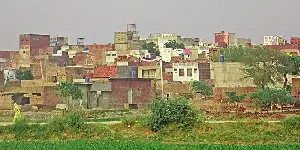
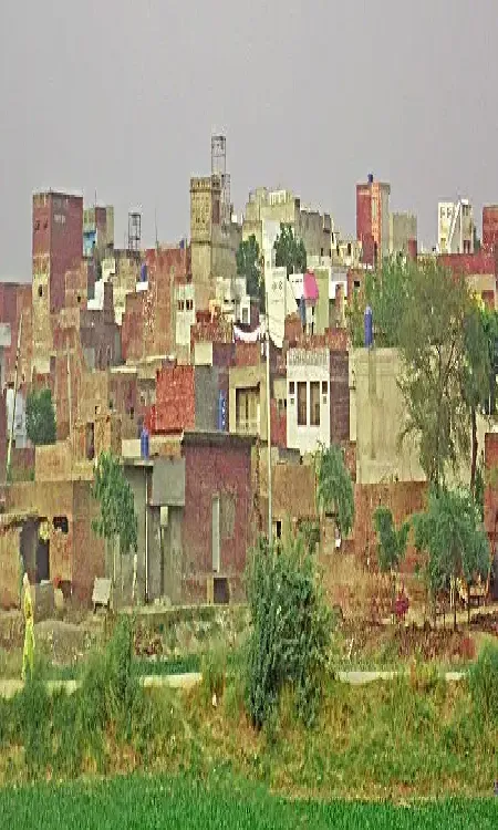
Baddomalhi
Baddomalhi is a small town situated at the right bank of the River Ravi at the distance of 72 km from Lahore on Narowal-Lahore Road. It is named after Muhammad Jahi Badhomalhi, who was granted a Jagir by Mughal Emperor Shah Jahan, and present Baddomalhi is the center of that Jagir.
Visiting Locations in Baddomalhi -
Bhakkar
Bhakkar is a district in Punjab on the left bank of the Indus River at a distance of 406 km from Lahore via Bhakkar - Jhang Road. Most of its area is located in the Thal desert which is famous for its sand dunes and wonderful cultural traditions.
Visiting Locations in Bhakkar -
Chichawatni
Chichawatni is situated on the old G. T. Road in the Sahiwal District in Punjab, Pakistan, at the distance of 218 km from Lahore.
Visiting Locations in Chichawatni -
Deosai Plains
Deosai Plains, also known as Deosai National Park, is located at the distance of 30 km from Skardu between Astore and Skardu District. Its average elevation is 13,497 feet above sea level and is considered the second-highest plateaus in the world. Due to its height, there is no tree in the Deosai Plains but full of lush green grass and flowing plants. It is also famous for wildlife and different kind of flora and fauna in the Karakoram Range. In the spring season, it becomes colorful due to those wildflowers and a variety of butterflies.
Visiting Locations in Deosai Plains -
Fairy Meadows
Fairy Meadows, a lush green plateau, is located at an altitude of 3,300 meters at the base of Nanga Parbat in Diamer district of the Gilgit-Baltistan. It is a wonderful site that gives a splendid view of The Killer Mountain, Nanga Parbat. It is situated at the distance of 410 km from Islamabad via Naran-Chilas Road by turning right to Karakoram Highway after Chilas toward Fairy Meadows.
Visiting Locations in Fairy Meadows -
Ghotki
Ghotki is located at a distance of 526 km from Karachi on the left bank of the Indus River. It is an agricultural lands as well as there number of industries are in operation. Its land is suitable for producing best quality dates and bananas.
Visiting Locations in Ghotki -
Hafizabad
Hafizabad is located at the distance of 160 km from Lahore in Punjab Province on the bank of the Chenab River. It is accessed through G. T. Road and from Gujranwala, turns left on Gujranwala-Hafizabad Road at 40km. Hafizabad is famous for the best quality of rice and center of the export quality rice industry.
Visiting Locations in Hafizabad -
Hingol National Park
Hingol National Park, or Hungul National Park, is situated along the Makran coastal line in Lasbela district, Balochistan. It is the second largest park in Pakistan, covering an area of 6,100 square kilometers. Some of the its area is also located in Gwadar and Awaran. It is located at the distance of 717 km from the main Quetta city and 243 km from Karachi on the Makran Coastal Highway.
Visiting Locations in Hingol National Park -
Jacobabad
Jacobabad is situated at the distance of 548 km from Karachi, which is accessed via Shikarpur by turning left from Sukkur on Jacobadad-Sukkur Highway. It was named after General John Jacob in 1847. It is a gateway to Balochistan from the north side of Sindh.
Visiting Locations in Jacobabad -
Jamshoro
Jamshoro is located on the right bank of the Indus River on the Indus Highway M-55 at the distance of 150 km from Karachi. Jamshoro is the gateway to the Indus Valley Civilization and is famous for the historical site of Ranikot Fort, which is the largest fort in the world.
Visiting Locations in Jamshoro -
Jhang
Jhang is located at the confluence of the Chenab river and the Jhelum river at Trimmu Barrage, on the east bank of the Chenab river. It is accessible from Faisalabad at the distance of 76 km via Jhang Faisalabad Road, otherwise turn right from Lahore-Karachi National Highway - N5 from Chichawatni via Toba Tek Singh at the distance of 90 km.
Visiting Locations in Jhang -
Jhelum Valley
Jhelum Valley, a 50 km long valley located on the Jhelum River within lush green mountains, is located in Hattian Bala District of Azad Kashmir, Pakistan, which is 40km from Muzaffarabad. The important areas of Jhelum valley are Chinari, Chakothi, Chikkar, Garhi Dupatta, and Awan Patti.
Visiting Locations in Jhelum Valley -
Kasur
Kasur, land of Bulleh Shah, is just located at the distance of 55 km from Lahore via Ferozepur Road, adjacent on the north of Lahore. There is also an important border post, Ganda Singh Wala, with India. Its border is connected with Lahore, Okara, and Nankana Sahab districts.
Visiting Locations in Kasur -
Khanewal
Khanewal is an important city in the Central Punjab and is located at a distance of 300 Km from Lahore on Grand Trunk Road N5. It is also connected with Lahore - Abdul Hakeem Motorway with Lahore and Karachi. It is the most important Railway junction in Pakistan.
Visiting Locations in Khanewal -
Kundi Meadows
Kundi meadows as known as Seh Kundi meadows, are located behind Rajwal village nearly 10 km after Kaghan in Kaghan valley. It is a lush green plain on the mountain peak in Rajwal village after 5 to 6 hours of difficult trek. This trek is started from the main Kaghan-Naran road by crossing the bridge over the Kunhaar River.
Visiting Locations in Kundi Meadows -
Lasbela
Lasbela is a coastal district in Balochistan Province at the distance of 125 km from Karachi on the Karachi-Quetta Highway N-25. Lasbela is famous for its unique geographical structure of mountainous regions, largest national park in Pakistan, and the most beautiful beaches of the world.
Visiting Locations in Lasbela -
Layyah
Layyah is located on the left bank of the Indus River at the distance of 394 km from Lahore and is accessed through Lahore-Abdul Hakeem Motorway M-3, after moving back to Lahore-Faisalabad Motorway M-3, and then follow the Garh Maharaja Road via Shorkot.
Visiting Locations in Layyah -
Makuli Meadows
Makuli Meadows is another beautiful and lush green meadows among the snow-capped mountains. From the main Yasin Road, turn right along the Qorqolti Bar Nala near Shahman town after crossing Shuhda-e-Yasin tomb. Beginning part of the road is good for vehicle, then two hours trek is used to access the Makuli meadows. Most parts of the trek are full of lush green fields and fruit gardens. One can enjoy the magical sounds of Qorqolti Bar Nala along enjoying the fresh fruits from fruits on the trek.
Visiting Locations in Makuli Meadows -
Matiari
Matiari district is situated on the left bank of the Indus River at the distance of 230 km from Karachi on National Highway N-5. Matiari is one of the oldest territories of Sindh province. Matiari is famous for Ajrak that is the most famous part of traditional Sindhi dressing.
Visiting Locations in Matiari -
Mianwali
Mianwali is located along the Indus River at the distance of 340 km from Lahore and it is accessed via Khushab by Lahore-Islamabad Motorway M-2. It has a boundary with Khyber Pakhtoonkhwa province, so there is a mixture of cultures of both of the provinces Punjab and Khyber Pakhtoonkhwa.
Visiting Locations in Mianwali -
Musakhel
Musakhel is a district in Balochistan Province at a distance of 443 km from Quetta via Zhob-Dera Ismail Khan Highway N-50 and turn right from Sangar village to Musakel Road. It is a mountainous area over the ranges of Sulaiman Mountain Range.
Visiting Locations in Musakhel -
Narowal
Narowal lies on the right bank of the Ravi River on the border between India and Pakistan, at a distance of 98 km from Lahore via Kala Khatai Road. Its name is derived due to a Sikh landlord, Naro Singh Bajwa, who was the owner of the land before 1947.
Visiting Locations in Narowal -
Okara
The Okara is situated at a distance of 127 Km from Lahore on National Highway N-5, at an altitude of 500 feet above sea level between Ravi and Sutlej rivers. It is a fertile land and famous for the production of various cash crops as well as a hub of livestock farming.
Visiting Locations in Okara