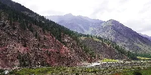
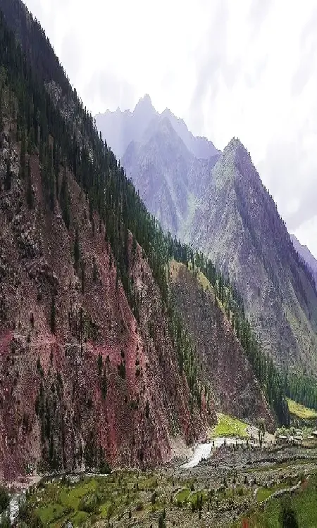
Districts, administrative units, in Gilgit Baltistan Pakistan
It provides an inclusive collections of beautiful pictures of Gilgit Baltistan and all of the famous and attractive visiting places there. Travel guide about Gilgit Baltistan is also available to visit various visiting places there to enjoy the best and memorable moments of your life while exploring there.
-


Astore
Astore is district in the Gilgit-Baltistan and located at an altitude of 8,500 feet on the eastern side of Mount Nanga Parbat, at the distance of 60 km from Gilgit main city. Astore region ascends from the Indus River from Jaglot in Diamer district. The valley is famous for different kinds of important medicinal plants and herbs. In summer, the colors of the valley become very much attractive due to various kinds of colorful flowers.
Visiting Locations in Astore -
Darel
Darel district is located along the Darel River at a distance of 443 KM from Islamabad and 226 KM from Gilgit city. It was created in the Diamer district in 2019. It includes all of the valleys along the Darel River. The Darel River is a tributary of the Indus River.
Visiting Locations in Darel -
Diamer
Diamer is the district of Gilgit-Baltistan on the Karakoram Highway along the Indus River. It is the gateway to access the mighty mountains of Karakoram Range in Gilgit-Baltistan from Khyber Pakhtoonkhwa province. The Chilas is the capital town of the Diamer district. One of the major importance of this city is the Nanga Parbat, which is the 9th highest mountain in the world, having a height of 8,126 meters.
Visiting Locations in Diamer -
Ghanche
Ghanche is the easternmost part of Gilgit-Baltistan and is situated on the banks of the Shyok River, at a distance of 306 km from Gilgit city via Skardu. It is the coldest place in Pakistan and is also known as the Third Pole with temperatures reaching below -20 centigrade. Its name is derived from a seasonal stream, called Ghanche Nallah.
Visiting Locations in Ghanche -
Ghizer
Ghizer district is located along the Gilgit River on the west of the Gilgit River. It is the most beautiful and attractive valley in Gilgit-Baltistan. It has a number of colorful valleys with singing streams within the green fields. It is the gateway to Chitral from the Gilgit side via Shandur Pass.
Visiting Locations in Ghizer -
Gilgit
Gilgit is a splendid place for tourists, situated at the altitude of 4800 feet in the southwest of Karakorum Range in the Gilgit-Baltistan Province near the confluence of the Gilgit River and Hunza River. It is the capital of the Gilgit-Baltistan province, which is an administrative territory of Pakistan.
Visiting Locations in Gilgit -
Gojal Upper Hunza
Gojal is the largest city in Baltistan next to Hunza, having a border with China and Afghanistan. It connects with China through the Khunjerab Pass and with Afghanistan through the Chapursan Valley. Gojal, also known as Upper Hunza, is the highest mountains area in the Karakoram and Pamir mountain ranges, at an average elevation of 4,000 meters.
Visiting Locations in Gojal Upper Hunza -
Gupis Yasin
Gupis Yasin is located in the west of Gilgit-Baltistan in the high mountains of the Hindu Kush Range at a distance of 187 KM from the Gilgit main city. It is given the status of district in 2019 and separated from Ghizer district including Gupis, Yasin, and Phander Tehsil.
Visiting Locations in Gupis Yasin -
Kharmang
Kharmang is a district in Gilgit-Baltistan at a distance of 311 km from Gilgit City on the banks of the Indus River along Kargil-Skardu Road. It is located on the Control Line between Pakistan and India, with Kargil district of Indian-Occupied Jumma & Kashmir.
Visiting Locations in Kharmang -
Nagar
Nagar district is located next to the Gilgit district in Gilgit Baltistan at an altitude of 8,822 feet on the Karakoram Highway. It was part of the Nagar-Hunza district, it is constituted as a separate district in July 2015. Nagar Khas is the major town and administrative headquarter of the Nagar district.
Visiting Locations in Nagar -
Rondu
Rondu district is part of Gilgit-Baltistan and was given the status of district in 2019. Before that, it was part of the Skardu district. It is composed of the Rondu valley only which is the fourth largest valley in Gilgit-Baltistan. Bambudas is the headquarters of the Rondu district.
Visiting Locations in Rondu -
Shigar
Shigar is a district on the banks of the Shigar River near Skardu in Gilgit Baltistan at a distance of 239 km from Gilgit city via Skardu. There number of beautiful valleys and adventurous treks, which attract a number of visitors from all over the world. It is the gateway to the mighty mountain range of the Karakoram, in which K2, the second highest peak in the world, is the most important.
Visiting Locations in Shigar -
Skardu
Skardu is the main hub for tourism, trekking, and expedition in the Gilgit-Baltistan. The mountainous terrain of the region with four of the world's 14 Eight-thousander peaks, attracts people around the world having an interest in trekking, mountaineering, etc.
Visiting Locations in Skardu -
Tangir
Tangir district is located along the Tangir River at a distance of 409 KM from Islamabad and 260 KM from Gilgit city. It was created in the Diamer district in 2019. It includes all of the valleys along the Darel River. The Tangir River is a tributary of the Indus River.
Visiting Locations in Tangir
About Gilgit Baltistan
Gilgit Baltistan is the fifth administrative part of Pakistan in its north side. Formaly it was part of Northern Areas, by the year 2009, it was granted limited autonomy under the Self-Governance Order of Government of Pakistan and renamed to Gilgit-Baltistan. Pakistan still not included it as a separate province due to Kashmir Movement in disputed Jammu and Kashmir held by India.
It has high mountainous landscape, it has five eight-thousanders peaks. It also has longest glaciers of the World outside the polar region.
There are number of rock carvings found in Gilgit-Baltistan in Passu village, which are the indications of human presence in 2000 BC. Bon and Buddhism were the first religions in this area. In 14th century, due to Sufi Muslim, Islam was introduced in Gilgit-Baltistan. In 1839, Gilgit-Baltistan was under the control of Sikhs and then after the First Anglo-Sikh War, it beame part of Jammu and Kashmir State in 1846. After First Kashmir War, Jammu and Kashmir State is divided among Pakistan and India by Line of Control by UN. After then, Gilgit-Baltistan is control by Federal Govenment of Pakistan as Northern Areas. By 2009, it was assigned a separate self-rule Gilgit-baltitan Legislative Assembly, so it became a de facto province without constitutionally part of Pakistan.
Gilgit-Baltistan is situated in the highest mountain ranges of the Karakoram, Himalayas and Hindukush. K2 and Nanga Parbat are one of the highest peaks in this area. The Biafo, the Baltoro, and the Batura Glaciers are the largest glaciers in this region. There are number of high altitude lakes such as Sheosar lake, Naltar lake, etc. The Deosai Plains are the second highest plateau in the world at the altitude of 14,500 feet.
The climate of Gilgit-Baltistan is depend upon the type of region, in some parts are hot in summers whereas others remained cool and pleasant in summers.
