Here, you may explore list of famous tourist locations in Pakistan to visit. You can also explore travel guides and maps to visit these Mountain Peaks in Pakistan to enjoy the most memorable days of your life.
Mukshpuri or Moshpuri is the second-highest mountain in the Galyat area in Nathia Gali in the district of Abbottabad Khyber Pakhtunkhwa, at an elevation of 9,200 feet. It is just located near Dunga Gali in the area of Ayubia National Park. It is covered with conifer forests and habitat places of different kinds of animals and birds.
Nanga Parbat, also known as Killer Mountain, is located on the border between Diamer and Astore districts. It is locally known as Diamer, King of the mountains. It is the 9th highest mountain in the world, having a height of 8,126 meters. It is the most difficult mountain to climb due to its vertical and dangerous structure. The weather conditions here, are too much uncertain, within few minutes, it covers with clouds and temperature drops below freezing point.
The Margalla Hills is a part of Himalayan foothills, located on the north of Islamabad, Pakistan. The Margalla Hills has an average elevation of 1000 meters. Tilla Charouni is the highest peak in this range. It also gets snowfall in the winter season. These hills have an attractive greenish view around the north side of Islamabad and provide a relaxing view for tourists. Pir Sohawa is the highest tourist spot in this area.
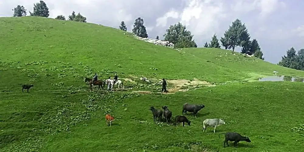
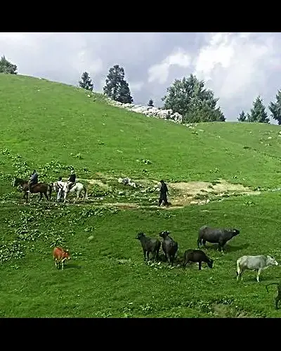
Manshi Top is a green mountain in the Sharan Forest and accessible through dense thick pine forest. The initial trek is little bit difficult and then it becomes easy to ascend. It takes two hours from Sharan Forest to access the Manshi Top.
Shakarparian Hills is a beautiful and charming place in Islamabad at a distance of 5km from Zero Point Islamabad in the Potohar Range. There is a hill in the park, which is the main attraction of the park. From that hill, one can have a bird\'s eye view of both cities Islamabad and Rawalpindi. It is the best location for a day relaxing with family or friends.
Miranjani is located in Namli town in Abbaottabad district in Khyber Pakhtunkhwa. it is highest peak in the Galyat Region, at the elevation of 9,814 feet and one of the famous hiking trail for hikkers and tourists. Miranjani Trek is started at the distance of nearly three kilometers from Nathia Gali town.
Sakesar Mountain is the highest point at the elevation of 1,522 meters in the Salt Range in the Soon Valley. In winter season, it also receives littlebit snowfall. It is restricted area now due to PAF airbase and radar system on top of the Sakesar, but tourist can visit its top if some of the armed force link available.
Ghamubar Zom is mountain located in Hindu-Raj Range, a mountain range between Hindu Kush and the Karakoram ranges, at the elevation of 6,518 meters in the Darkut town in the Yasin Valley Gilgit-Baltistan. Its summit is entirely visible from Darkut and Rawat village, that is summer village for the Darkut people.
Passu Cathedral, also known as the Tupopdan Peaks or Passu Cones, is located at the altitude of 20,033 feet in Passu village on Karakoram Highway near the Hunza River. It is the most beautiful picturesque peak in Gilgit-Baltistan. It is worth staying here to get the beauty of this town in the high mountains before moving toward the Khunjerab Pass.
Hunza Peak is located in Karakoram Range on the right side of Ladyfinger Peak, on the southwest ridge of the Ultar Sar massif in Batura Muztagh. It stands at an altitude of 20,570 feet above sea level. Hunza Peak along with Ladyfinger Peak can be seen from Altit Fort with a beautiful landscape of Hunza Valley.