Here, you may explore list of famous tourist locations in Pakistan to visit. You can also explore travel guides and maps to visit these Desert Areas in Pakistan to enjoy the most memorable days of your life.
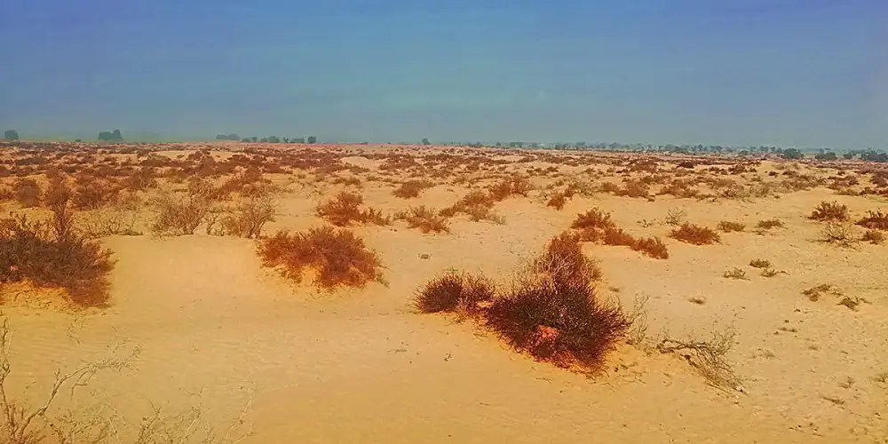
The Cholistan Desert is the most popular and largest desert in the Southern Punjab, that is the part of the Thar Desert. It was fertile land in 4000 BC due to water from the Himalayas, but due to climate change and with scarcity of water, it turns into barren desert. It also has ancient settlements from the Indus Valley civilization.
Badin is located at the distance of 210 km from Karachi in Sindh province on Badin-Sajawal road. It lies on the east side of the Indus River with the fertile plains. It is suitable for rice crop due to its swampy and fertile land. It is also known as Sugar State due to its production of sugar.
Muzaffargarh is located on the confluence of the Indus River and the Chenab River in South Western Punjab. It is geographically located exactly in the center of Pakistan at a distance of 450 km from Lahore via Faisalabad-Multan Motorway M-4.
Rahim Yar Khan is located in South Punjab next to Bahawalpur at the distance of 200 km on the National Highway N-5, having a border with India, Rajasthan. It was previously part of the Bahawalpur State. A part of Rahim Yar Khan is a desert area in the Cholistan desert.
Dera Mura Jamil is a tehsil of Nasirabad district in Balochistan Province at a distance of 272 km from Quetta and is accessible via Sibi through Quetta-Jacobabad Highwary N-65 by crossing the historical Bolan pass. It lies on the fertile Indus Plains.
Sibi is a district in Balochistan Province at the distance of 162 km from Quetta via Quetta-Jacobabad Highway N-65. It is the hottest spot of Pakistan as its temperature may exceed 52.5 degree celcius. It was the oldest district in the Balochistan created by the British Government in 1903.
Sherani district is situated at a distance of 373 km from Quetta within the Sulaiman Mountain Range and is accessible via Qilla Saifullah through Kuchlak-Zhob Highway N-50 and following Zhob-Dera Ismail Khan Highway N-50.
Nasirabad is a district in Balochistan Province at a distance of 272 km from Quetta and is accessible via Sibi through Quetta-Jacobabad Highwary N-65 by crossing the historical Bolan pass. It lies on the confluence of the fertile Indus Plains and the Kacchi Plains.
Zhob is situated at the distance of 330 km from Quetta on Kuchlak-Zhob Highway N-50 via Killa Saifullah. Its previous name was Fort Sandeman that was derived after Robert Sandeman, the first agent to the Governor General of Balochistan in British Regime.
Dera Bugti is situated at the distance of 365 km from Quetta city via Sibi through Quetta-Jacobabad Highway N-65, then following the Bhag-Dera Bugti Road. Dominant tribe in this district is Bugtis who has the main control of the district. It is mostly bounded by the dense hill structure of the Sulaiman Mountain Range.